Torugart Pass
| mountain pass, frontier post
Kyrgyzstan /
Narin /
At-Bashi /
S212 Provincial Road
World
/ Kyrgyzstan
/ Narin
/ At-Bashi
World / People's Republic of China / Xinjiang Uygur / Kizilsu Kirghiz
mountain pass, frontier post

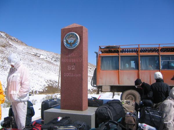
Height 3752 m.
Wikipedia article: http://en.wikipedia.org/wiki/Torugart_Pass
Nearby cities:
Coordinates: 40°33'5"N 75°23'38"E
- Chyyyrchyk Pass 2408 m 179 km
- Taldyk Pass (3.599 m) 209 km
- Kyzylart Pass 220 km
- Kilik Pass 4797.4 m 391 km
- South Kakhjirvardan 392 km
- Mintaka Pass 4676.5 m 397 km
- Pak-China entry Point 412 km
- Khunjerab Pass 412 km
- Boroghil Pass 445 km
- Darkot Pass 457 km
- Chinese checkpoint
- trenches 4 km
- fortifications from days of Soviet/Chinese conflict 4 km
- fortifications 4.1 km
- parked trucks 4.2 km
- Chinese customs/immigration checkpoint 4.5 km
- Chatyr-Kul lake 14 km
- Atbashi Range 48 km
- Executive Spine Surgery 60 km
- Border post 78 km